
Arthur's Pike
Height 1747 feet/532metres
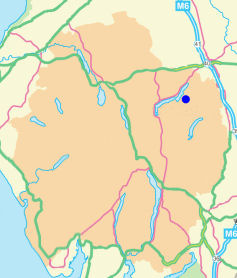
Grid Reference NY 461 207
Area
Birkett - Eastern Fells, Loadpot Hill Group - Top No. 288
Wainwright - The Far Eastern Fells
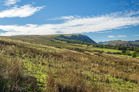
Looking towards Arthur's Pike from Roehead.
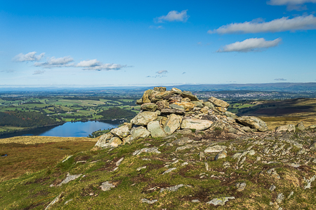
The summit cairn on Arthur's Pike.
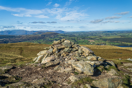
Blencathra from the summit of Arthur's Pike.
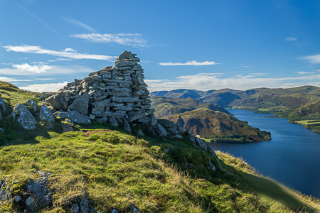
The view along Ullswater from the cairn at
Whinny Crag below the summit of Arthur's Pike.
Roehead - The Cockpit - Nesgillhow Beck - High Street Roman Road - Arthur's Pike - Barton Fell - Roehead
Waterfoot Park - Pooley Bridge - Roehead - Barton Fell - Arthur's Pike - Barton Fell - The Cockpit - Roehead - Pooley Bridge - Waterfoot Park
Roehead - Barton Fell - Arthur's Pike (229) - Bonscale Pike (230) - Swarth Fell (231) - Loadpot Hill - High Street Roman Road - Roehead
All pictures copyright © Peak Walker 2024
©Crown copyright. All rights reserved. Licence number 100045184.